Mt. Diablo - Falls Loop
 Saturday, February 12, 2011 at 7:00PM
 This wonderful hike was organized by the Mt. Diablo Interpretive Association and led by Helene Crowley, and they offer hikes like this quite often. Please visit their events page to learn more.

Trails Taken - Regency Gate to Donner Canyon to Lower Donner to Wasserman, down Cardinet Oaks to the Falls Trail, Falls Trail to Middle Trail. Middle Trail to Meridian Ridge, Meridian Ridge to Meridian Point trail, Meridian Point to Back Creek, Back Creek to Regency Trail, back to Regency Gate.
Mileage - 6.5 miles
Trailhead - End of Regency Drive, Clayton, CA. No bathrooms or water.
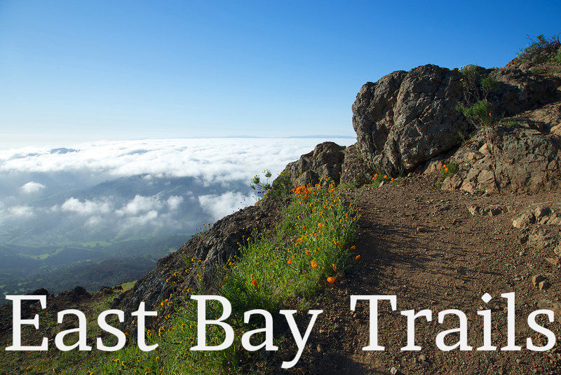
Notes and Impressions - As you'll see from the images, this hike offers a variety of experiences and scenery. It's not an easy hike, and the trails can be narrow and steep, but it's enjoyable and satisfying and I'd highly recommend it.
This time of year (Spring, 2011) offers great opportunities to see mountain wildflowers, flowing streams and, of course, waterfalls. If you're expecting Hawaii type waterfalls, you'll be disappointed, but even with moderate water flowing, it's still beautiful. These falls are visible, but not accessible from the trails. You won't be walking under them. You'll also see numerous streams and the vibrant life they support. Much of the terrain around the trails is choked with heavy brush, some bursting with new life, and reaching on to the trail. Nothing is impassible though, but you'll need to be careful with your footing in many places. Loose rock, water and brush create obstacles that can be a little challenging.

Reader Comments (1)
Nice photos! Hopefully you can go back there some time when there is more water flowing in the waterfalls. We hiked after a spring rain and found the Donner Canyon Waterfalls on Mount Diablo to be quite nice. The naming of the trails is a bit confusing, so we were lucky to have a gps map for the Falls Trail on an iPhone during the hike. When the waterfalls are running and the wildflowers are blooming I think this is one of Contra Costa County's finest hiking trails.